Image

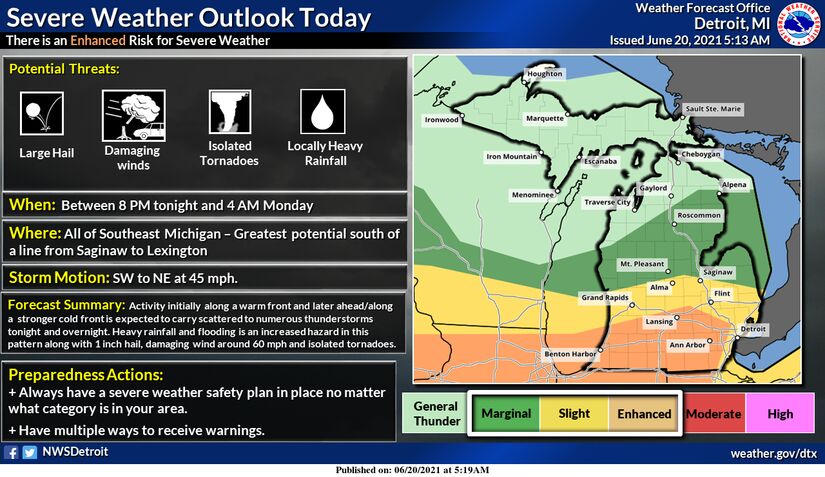
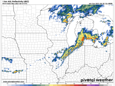
A slight risk (yellow) and enhanced risk (orange) for severe weather is overlaying portions of southeast Michigan today as severe weather will be anticipated between 8 PM and 4 AM. A snapshot of the HRRR radar model is above which projects a line of storms rolling in around 3 AM. Note that models and forecasts are always subject to change. The main hazard will be damaging wind gusts to 60 mph, but we also can’t rule out large hail and an isolated tornado. Make sure you have multiple ways of receiving weather information and alerts tonight and have a plan of action if a warning is issued for your area.
- Forecaster Joel Robinson
Images from the National Weather Service & Pivotal Weather

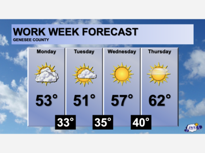
Patchy rain nearby, with a high of 86 and low of 64 degrees. Cloudy in the morning, sunny during the afternoon, patchy rain nearby in the evening, mist overnight.