By Forecaster Joel Robinson
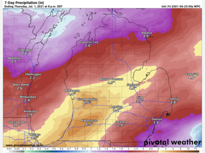
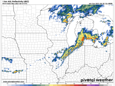
Thanks to some rain and thunderstorm activity on Sunday, some of us saw around a half an inch of rainfall which was certainly much needed as we are well below average for rainfall this year. Now we have some cooler air that has filtered into the area and there will be more to come later in the week. Here is a breakdown of what to expect.
Monday: Mostly cloudy skies with temperatures in the mid to upper 70’s. Calm winds becoming light from the SSW in the afternoon. Temperatures falling to the mid to upper 60’s overnight.
Tuesday: Mostly sunny with a chance of showers and possibly a thunderstorm after 3 PM. Showers will become likely after 9 PM. High temperatures in the mid to upper 80’s dropping to the mid to upper 60’s by early Wednesday.
Wednesday: A chance of showers and thunderstorms until 2 PM then dry with decreasing clouds for the remainder of the day. High temps in the upper 70’s to low 80’s. A cold front will send temperatures into the 40’s during the overnight hours into Thursday.
Thursday: Mostly sunny and cooler with a chance of showers in the evening. High temperatures in the upper 60’s to low 70’s.